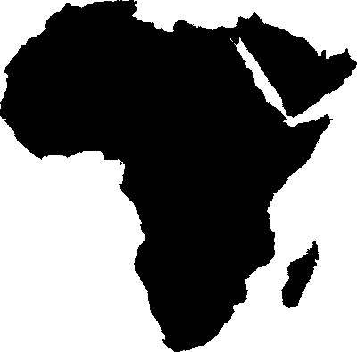
With ScriptEase:WebServer Edition's graphics library, you can create image maps with complicated and irregular regions. Click on any area of the map and let SEWSE tell you what country you selected.